County Road 42 Construction | Prepare for 2027 Traffic & Safety Upgrades | South Metro Scoop
23 mature trees, $320K in city costs, and questions about
whether narrower lanes will actually slow down speeders
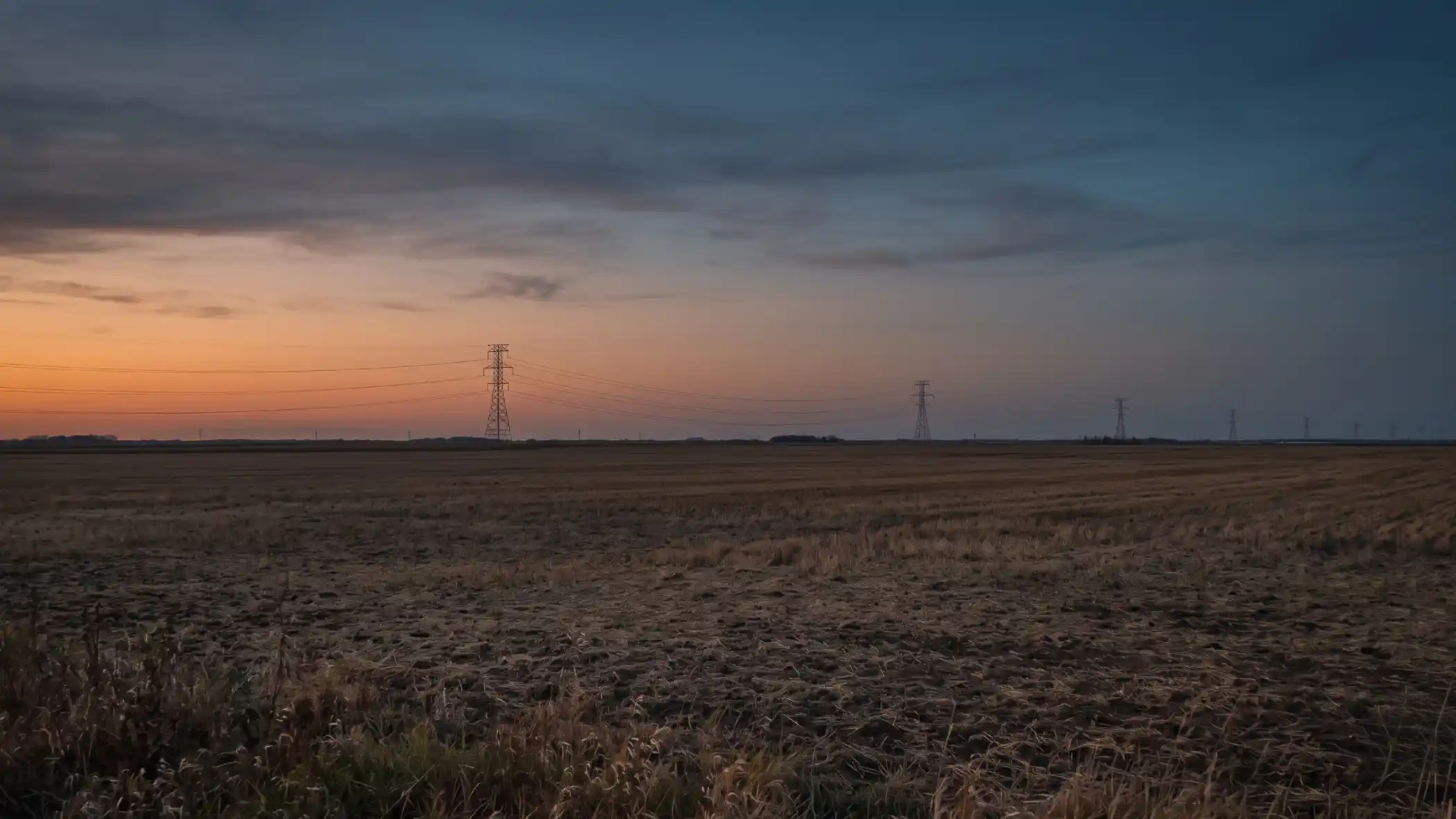
If you've ever white-knuckled it crossing County Road 42 on foot, or watched cars blow through downtown Hastings at 70 mph in a 30 mph zone, Dakota County heard you. They're planning a major reconstruction project for 2027 that's designed to make the corridor safer, slower, and more walkable.
But here's the thing: the project is sparking some serious debate about whether the trade-offs are worth it.
At the January 20th City Council meeting, Dakota County presented updated plans for reconstructing County Road 42 from Lock Boulevard to the Highway 61 bridge. The project includes new trails, narrower lanes, raised medians, and pedestrian crossings designed to force drivers to slow down.
The cost to Hastings taxpayers? About $320,000 (with the county covering the rest).
The environmental cost? 23 mature hackberry trees near Lakeside Cemetery.
And that's where things got tense.
The Tree Controversy Everyone's Talking About
The most heated discussion at the council meeting wasn't about trails or traffic. It was about trees.
To make room for a new center turn lane between First Street and the hospital entrance, Dakota County's current design would cut down 23 mature hackberry trees on the north side of the road near Lakeside Cemetery. These aren't saplings. They're 15-18 inches in diameter.
Council Member Dave Pemble pointed out that the cemetery fence along that stretch dates back to the 1910s and 1920s, calling it "irreplaceable." He pressed Dakota County to make sure the full cemetery board (not just one member) understands what's about to happen.
Council Member Lisa Leifeld put it bluntly: these trees "create our community, the beauty of our community."
Mayor Mary Fasbender asked the county to go back to the drawing board and figure out if there's a way to save them.
Here's what makes this complicated: the road could technically function without removing the trees , according to Dakota County project manager Joe Morneau. But narrowing the shoulder from 5.5 feet to 18 inches would eliminate the bike-friendly shoulder and potentially damage tree roots during construction anyway.
The county's current plan is to replace the 23 mature trees with smaller ornamental trees (4-6 inches) that won't grow as large. The cost? About $18,000 total, split 50/50 between the city and county, meaning Hastings would pay about $9,000 for replacement trees.
But here's the kicker: the county considers tree planting an "aesthetic enhancement," not a functional part of the project , even though the trees are only being removed because of the construction.
Council Member Dan Wietecha questioned that logic pretty directly.
Will Narrower Lanes Actually Slow People Down?
The entire design philosophy behind this project boils down to one idea: if you make the road feel tighter and more urban, drivers will naturally slow down.
Instead of wide-open lanes that feel like a highway, Dakota County is proposing:
- 10.5-foot travel lanes (narrower than standard)
- Removal of bypass lanes at First Street, Madison Street, and Pleasant Street
- Raised medians and pedestrian bump-outs at crossing points
- Dedicated left-turn lanes instead of bypass lanes
Think of it this way: when you're on a wide, open road, you naturally drive faster. When the road narrows and you see curbs, medians, and crosswalks, your brain tells you to slow down. That's the theory.
But residents aren't convinced. At the December 2025 open house, multiple neighbors said they regularly see cars doing 70-80 mph despite the posted 30 mph limit. One resident, Dave Burr, argued that "only a heavy police presence" would actually control speeds.
Dakota County acknowledged the skepticism but doubled down on the design-based approach, saying it's more sustainable long-term than relying on enforcement.
The Trail Design That Has Council Members Scratching Their Heads
Here's where things get a little confusing.
Dakota County wants to build a new 8-10 foot trail on the south side of County Road 42 from Lock Boulevard to River Street. Currently, that stretch has a mix of trail, sidewalk, and nothing, so the goal is to create one continuous path.
Sounds good, right?
Except Council Member Leifeld asked a pretty reasonable question: why are we replacing existing sidewalk with a trail when the trail just stops at River Street anyway?
Right now, property owners (including the hospital) are responsible for clearing snow on the sidewalk. If it becomes a trail, the city becomes responsible for plowing it.
And once you hit River Street, the trail ends, meaning cyclists have to merge back onto the road anyway because there's no room for a trail between River Street and downtown (steep hill on one side, Lake Rebecca on the other).
Council Member Nick Lawrence echoed the concern, pointing out there's literally no room for a shoulder on Second Street from River to the bridge.
Leifeld suggested an alternative: what if we kept the trail on the north side of the road instead? That way, people coming in on the Mississippi River Greenway trail at Lock Boulevard could stay on the north side without having to cross County Road 42 twice.
Dakota County's response was that the south side has fewer driveways and better access for the majority of residents, but it's clear the council isn't fully sold on the logic.
What Happens Next
This project wasn't up for a vote at the January meeting. Dakota County was just presenting an update. But here's the timeline:
- Now through Fall 2026: Final design work and easement acquisition
- February 2027: Advertise for construction bids
- 2027: One-season construction project (exact schedule TBD once contractor is hired)
Before construction starts, the city will need to approve a Joint Powers Agreement with Dakota County that locks in the cost-sharing arrangement and maintenance responsibilities.
The big outstanding questions:
- Can the 23 trees be saved?
- Will pedestrian-activated traffic controls be added at crossings?
- Will the trail design change based on council feedback?
Dakota County said they're still waiting to hear back from the Lakeside Cemetery board about the tree situation and are evaluating whether pedestrian-activated signals make sense at the proposed crossing locations.
How Much Will This Cost Hastings?
Here's the breakdown of who pays for what:
100% County:
- Mill and overlay (repaving)
- Traffic safety and operational improvements
85% County / 15% City:
- Trail construction
- Left-turn lane additions
- Bypass lane removals
- Storm sewer adjustments
50% County / 50% City:
- Tree planting (if it happens)
100% City:
- Trail snow plowing and ice clearing
Total estimated city cost: $320,000 (in 2027 dollars)
Good news: there are no resident assessments for this project, meaning homeowners along County Road 42 won't get hit with special taxes.
Why This Matters
County Road 42 is about to get a lot busier. With the Highway 61 corridor project starting in 2028, Council Member Pemble pointed out that "this road is going to be just as busy as Fourth Street."
If the county and city can get this right (slowing down traffic, making it safer to cross, and preserving the character of the neighborhood), it could be a model for how to handle growth without turning every road into a four-lane speedway.
But if they get it wrong (cutting down historic trees, building trails that don't connect logically, and failing to actually slow down drivers), it'll be a $320,000 lesson in what not to do.
How to Stay Involved
Dakota County is still refining the design based on feedback. If you want updates or want to weigh in:
Contact project managers:
- Joe Morneau (Dakota County): joe.morneau@co.dakota.mn.us | 952-891-7986
- Mike Adams (Senior Project Manager): mike.adams@co.dakota.mn.us | 651-554-6538
The next big milestone will be when the Joint Powers Agreement comes to City Council for a vote. That's when this officially gets locked in.
I'll keep you posted.
Want to stay in the loop on South Metro development projects? Subscribe to the South Metro Scoop newsletter for updates delivered straight to your inbox twice a week.
Got a story tip? Contact us here.